 The Lingling-o: History, Interpretation, and the Search for Evidence
  The Kankana-ey Calendar: A Timeless Symphony of Nature and Culture
  Igorots: The so-called savages of the Cordilleras
  Od-odio, the Narra Tree Song
  Baguio Creatives finding ways to rise above Pandemic
  Baguio City Creative Christmas Trees
  How a wooden spoon started a creative village
  The Sagada Way
  The Mountain Trail Thrill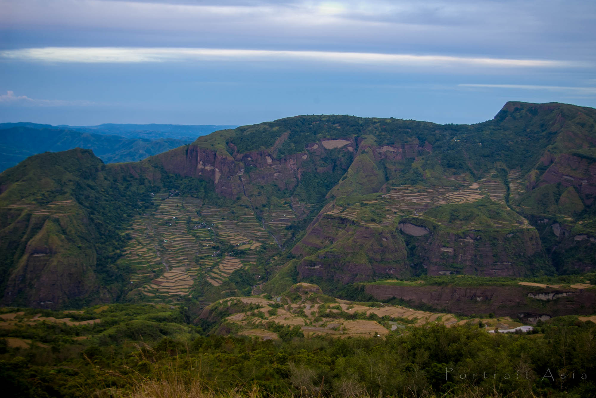
By Carl Cariño Taawan
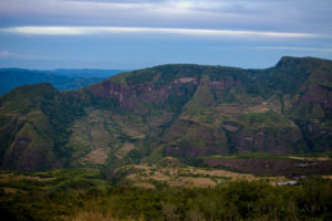
Deep gorges that separate and isolate villages, towering rock formations resembling human faces, and pine-clad mountains often compared to the landscapes of Switzerland define the municipality of Kibungan. It is also a place whose very name is believed to have originated from a primate that once inhabited its forests.
Local tradition tells of large monkeys that once roamed the mountains of Kibungan. These primates, said to be larger than the monkeys occasionally seen in the area today, were known to the early inhabitants as kibengan. According to local accounts, American officials later adopted this name and eventually used it to identify the municipality.
One of the last residents to recall seeing these monkeys was Bernabe Wance.
“It was probably around 1932 when they still roamed these mountains,” he recalled. “As the population grew, the monkeys were hunted for food. Eventually, they fled deeper into the forests or disappeared altogether.”
Residents believe that the disappearance of these monkeys was brought about by a combination of hunting and the gradual loss of their forest habitat.
Kibungan experienced significant population growth during the expansion of the logging and mining industries. Communities such as Sagpat and Lubo grew as workers and their families settled in the area during the height of gold mining operations, many of which ceased in the 1980s.
Today, Kibungan is composed of seven barangays: Badeo, Lubo, Madaymen, Palina, Poblacion, Sagpat, and Tacadang. The municipality is predominantly Kankanaey-speaking and lies within the cool highlands of Benguet, with elevations exceeding 2,500 meters above sea level. During the coldest months of December and January, Barangay Madaymen can experience temperatures approaching 0°C, creating the phenomenon known as the Frost of Madaymen.
Despite its rugged terrain, Kibungan offers remarkable natural attractions, many of which can only be reached on foot. Here are some of Kibungan’s wonders.
Les-eng Rice Terraces
The Les-eng Rice Terraces are among Kibungan’s most spectacular landscapes. They can be reached after an approximately six-hour hike through the pine forests of Barangay Tacadang. The terraces showcase generations of indigenous engineering and continue to be cultivated today.
Mayos River
Located in the northeastern portion of Barangay Poblacion, the Mayos River stretches for approximately 2.5 kilometers and lies about 3 kilometers from the town proper. It originates from the surrounding ridges of Madaymen, Palina, and Tacadang, providing irrigation for rice fields and vegetable farms throughout the valley.
Palina Rice Terraces
Situated in Barangay Palina at the foot of Mt. Kilkili, a mountain believed by local tradition to be an ancient volcano because of its conical shape, the Palina Rice Terraces are built using centuries-old stone-walled terrace systems. Their carefully constructed embankments descend gracefully along the mountainside, creating one of Kibungan’s most picturesque agricultural landscapes. The terraces are at their most beautiful in June and December, when the ripening rice turns the slopes into a sea of golden fields. Known as Kibungan’s rice granary, the Palina Rice Terraces remain an enduring symbol of the community’s agricultural heritage.he other. The rice terraces are at their best in December and June when the rice paddies turn golden yellow, near harvest time. The Palina rice terraces are known as the municipality’s rice granary.











Best view you can finde , in this side of world!